From Afropedia.world
Size of this preview: 776 × 600 pixels. Other resolution: 1,056 × 816 pixels.
Original file (1,056 × 816 pixels, file size: 45 KB, MIME type: image/png)
File history
Click on a date/time to view the file as it appeared at that time.
| Date/Time | Thumbnail | Dimensions | User | Comment | |
|---|---|---|---|---|---|
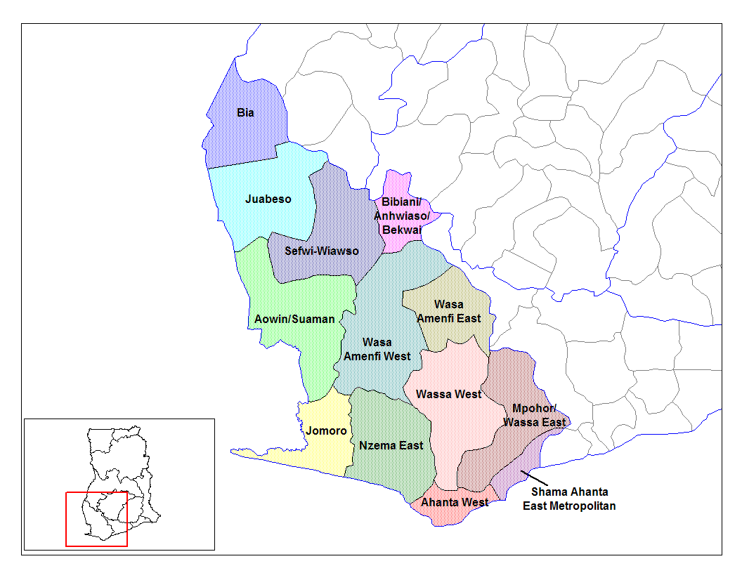
| current | 09:04, 28 June 2006 | | 1,056 × 816 (45 KB) | commons>Ahanta | from en:districts of ghana Map of the districts of the Western region of Ghana. Created by Rarelibra for public domain use. Created using MapInfo Professional v7.5 and various mapping resources. I, the creator of this work, hereby release it into the pub |
File usage
The following file is a duplicate of this file (more details):
- File:Western Ghana districts.png from Wikimedia Commons
The following page uses this file: